KEY POINTS
- Zimbabwe employs drones, GPS tracking, and real-time surveillance to combat poaching.
- Smart fences and AI tools enhance security in wildlife areas, deterring illegal activities.
- Community involvement and education complement technology, ensuring sustainable conservation efforts.
Poaching has long threatened Zimbabwe’s rich biodiversity, endangering species like elephants, rhinos, and pangolins that are vital to the country’s ecosystems and tourism industry.
Consequently, Zimbabwe has adopted the use of technology to improve on conservation, monitoring of wildlife as well as fight against poaching Illegal.
Technologies like drones, GPS tracking, and real-time surveillance are helping the country to leap forward to protect its natural assets and nurturing the sustainable development process.
Drones and aerial surveillance
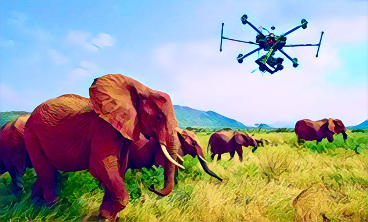
Drones have become a game-changer in Zimbabwe’s fight against poaching. Organizations such as Akashinga and International Anti-Poaching Foundation (IAPF) use drone technology to monitor vast wildlife areas, providing a bird’s-eye view of animal movements and potential poaching activities.
These drones are equipped with thermal imaging cameras, allowing rangers to detect poachers even under the cover of darkness.
In protected areas like Hwange National Park, drones have helped rangers track wildlife and deter illegal hunters. The cost-effectiveness and efficiency of drones make them a valuable tool in covering large, inaccessible areas.
According to the Zimbabwe Parks and Wildlife Management Authority (ZimParks), the use of drones has contributed to a decline in poaching incidents in some regions.
GPS and satellite tracking
GPS and satellite tracking system are other important features of anti-poaching in Zimbabwe.
Endangered animals, such as rhinos and elephants, are fitted with GPS collars that allow conservationists to monitor their movements in real time. This technology assists rangers in addressing any abnormal situation within the shortest time possible starting with an animal moving into sensitive areas.
For example, Save Valley Conservancy, among the biggest private wildlife areas in Africa has embraced GPS tracking in the protection of rhinos.
The collars also assist in collection of behavior, presence and utilization patterns of animals, enabling the identification of the best policies to put in place for the sustainability of endangered species.
Real-time surveillance and smart fencing
Movement-sensitive fences with video cameras installed on them are being placed in highly dangerous areas to prevent intruders from entering the park, alerting rangers to their presence as soon as they get close.
Such fences do not only help discourage poachers but also help reduce contacts between human beings and wild animals by keeping the latter from wandering into cultivated fields.
Additionally, Zimbabwe has integrated real-time surveillance with artificial intelligence (AI) tools. Cameras and sensors feed information into the AI algorithms, which explore the situations more quickly and accurately than methods for video surveillance.
Such systems have been deployed in collaboration with international conservation organizations, helping to protect vulnerable species effectively.
Community involvement and education
Despite fairly advanced technology used in the field, it is now evident that technology cannot solve the poaching problem without community support. A number of conservation programmes in Zimbabwe work hand in hand with technology alongside working with locals to enforce the conservation of wildlife.
Organization such as the Communal Areas Management Programme for Indigenous Resources (CAMPFIRE) involve the communities in the conservation activities since they stand to gain economically through protection of wildlife.
With the use of technology, education, and community support for conservation, Zimbabwe is developing a framework that will treat the problem as well as its source at the same time.


